MONDAY, JULY 30, 2012
Yesterday when we looked at the
weather, it looked like today would be the best day for at least a week to go
around New Jersey. We woke up at
6:00 a.m., but we wanted to wait until the current changed in our favor so we hung around
the anchorage until almost time.
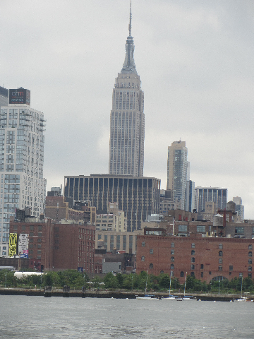
We couldn’t wait any longer so we left the anchorage at 7:15. We said goodbye to Lady Liberty as we
entered the harbor.

Of course we had to dodge the anchored tugs and barges as well as the ones that were underway as we approached the Verrazano-Narrows Bridge. So far so good. The weather wasn't what the weathermen had forecasted, but it wasn't too bad yet.

 Well the waves keep getting worst and worse. We were rocking and rolling and bumping alone. It was ridiculous how awful it was getting out into the ocean. This was supposed to be the best day to go. We don't think we'll ever believe another weatherman in our lives.
I had already put Uncle Finn's light and the heavy conch shell on our bed so they wouldn't get thrown into the floor. Then we hit an exceptionally rollie wave. Everything near the port door was thrown around on the top of the cabinet or thrown into the floor. How do you like the way Gary fixed our clock?


 The seas got a little better once we finally got out into the ocean, but there was no way it was going to be a comfortable day. At least you can see the Jersey shore in the pictures today. Remember the FOG was so bad last time that there were no pictures at all except the fog and fish ones. Of course, I've added another waves picture that doesn't look nearly as bad as they really were.


 About 5 1/2 hours after we left the anchorage, we entered Manasquan Inlet. We went from the ocean to almost no water at all. Gary had to be very careful so we wouldn't run aground. We saw as little as 1.6 feet of water. We're amazed we were able to keep on going.
 I did get a better picture of the wall of the Point Pleasant Canal and ladder to replace the really blurry one I took last time. The trip on the canal this time was much harder since we were going against the swift current. Also this time we were rolling through the water with at least 6-8 boats in front of and behind us. It was tough. As we got to the end I had to take a picture of the scarecrow on the barge. I'm not sure what they were trying to scare.


Good thing we were going to
go farther before we anchored today. The place we anchored before was
taken over by a bunch of youngsters in tiny sailboats. We missed all of them as we headed south.


We went a few more miles to Mantoloking Bascule Bridge and pulled off the Intracoastal near some waterfront houses for the night. We were exhausted after our ocean voyage. We traveled 50 bouncy miles in 7 hours and 20 minutes. Our total mileage is 2493 miles now.